


The weather forecast for our walk on Wednesday is for sunny intervals and a fresh breeze.
At 8:30am when we meet at the main entrance to the Westgate Gardens the temperature will
be at 12 degrees. A perfect morning for a walk I hear you say.
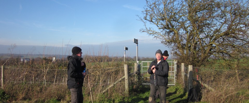
The pic taken on the walk last week is another in our popular occasional feature,
“ How Did That Supermarket Trolly Get There?”
Look forward to seeing you midweek for more walking, talking, coffee and possibly abandoned Supermarket
trolly spotting………