
Thursday 13 August 2026 – Etchinghill to Wye

This walk created and worked out by Peter.

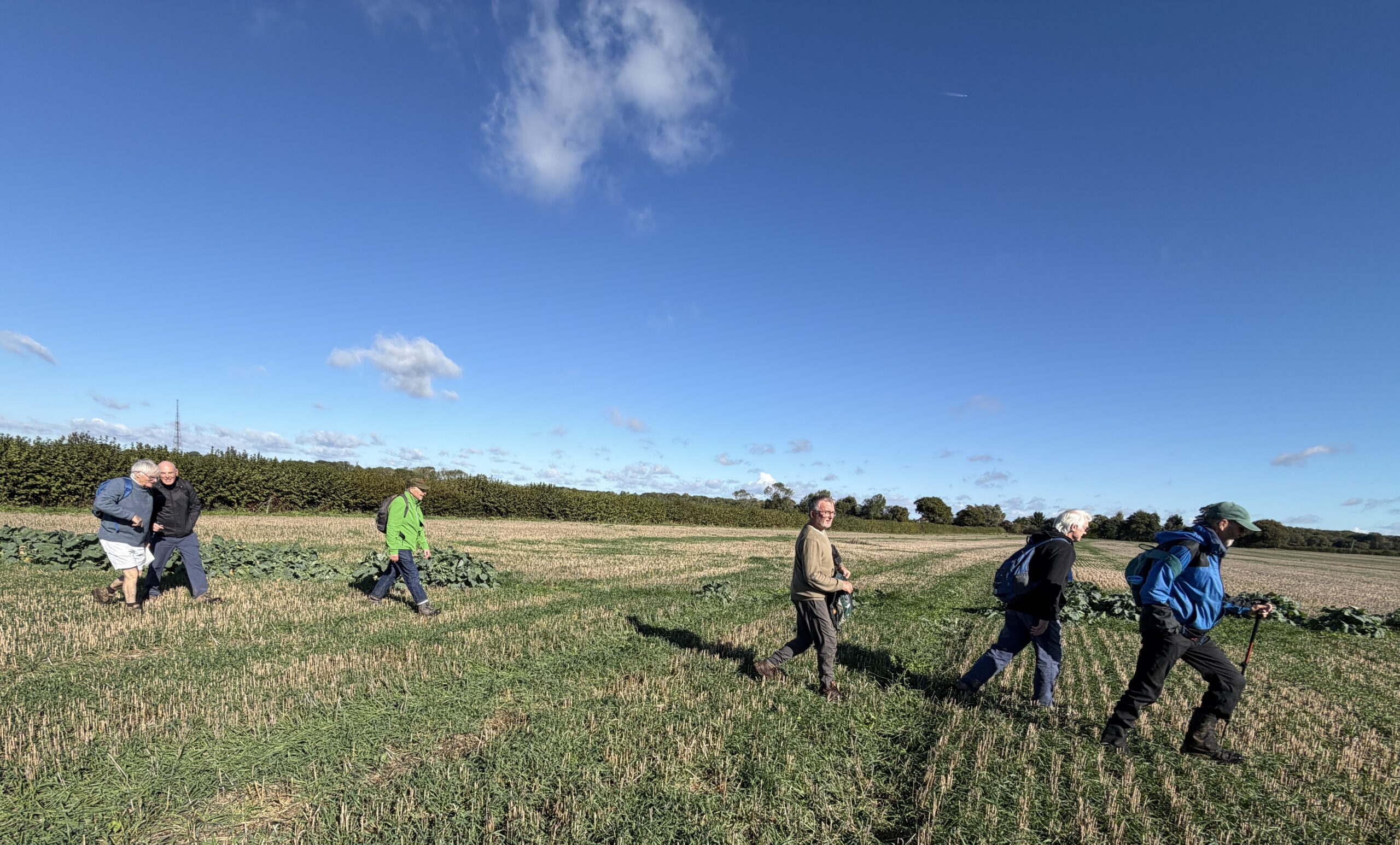
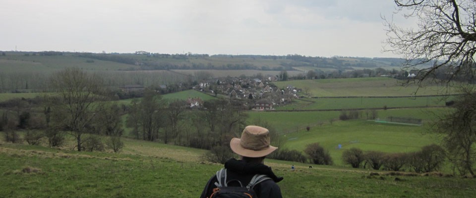
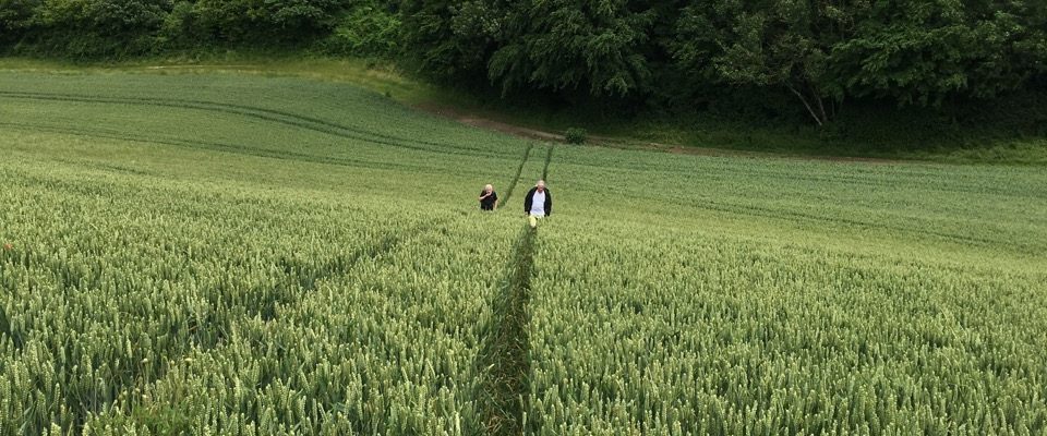
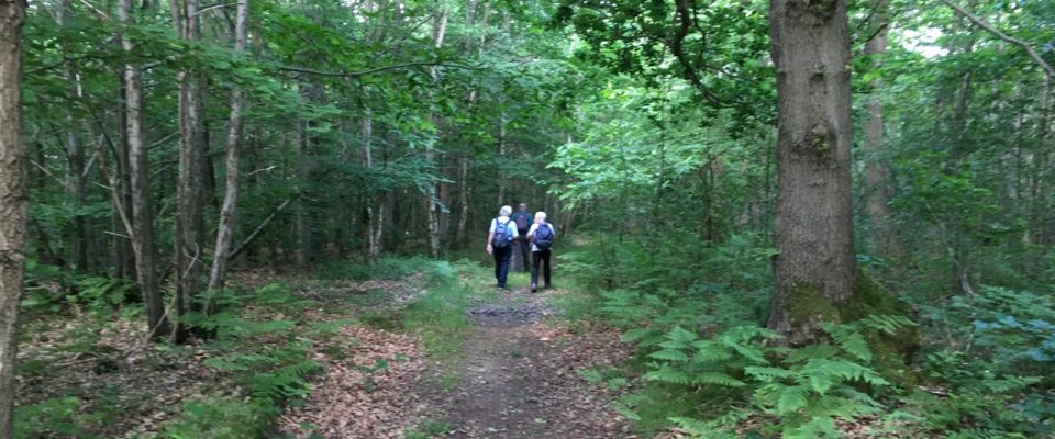
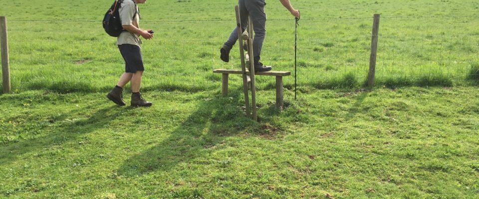
Catch the 8.30 17 bus at Canterbury Bus Station (stand D1) to Etchinghill, arrive at The Gatekeeper pub at 9.13. Up Westfield Lane to the summit. Admire the view, then turn right onto the North Downs Way. We follow the crest of the downs with some detours and of course the descent after Farthing Common over Cobb’s Hill and down to Stowting. About 4 miles. Sadly the Tiger Inn doesn’t open until 12.00pm. After that follow the N Downs Way to Wye (7 miles). Further splendid views, butterflies, blackberries and the fecundity of nature. Numerous snack opportunities. Then either train or a further 1.5 mile walk to Bilting and the X1 bus back to Canterbury. Depending on stops we should arrive in Wye about 1.45/2.00pm and could catch the 14.40 X1 (arrive 15.13) or the 15.38. Trains would be the 14.04, arrive Canterbury West 14.19, or 15.04.
Total distance 13 miles but a great walk. Suncream, water and packed lunch recommended.

SSS 454 – Tuesday 11 August, 2026 – Reverse Toddler’s Coves Walk

Meet at the top of Nunnery Road where it meets Nunnery Fields at 8:00am 

Nunnery Road, Zealand Road, then Lime Kiln Road to footpath, which connects to path behind Wincheap and then to Hollow Lane.  Walk along footpath by side of Hollow Lane (under A2 bridge) and along New House Lane, later take footpath across to Strangers Lane.  Walk down to A28 and cross for footpath, which leads to bridge over the Stour onto the SVW by the turning to Tonford Manor but turn right and walk to Toddler’s Cove, then across the footbridge and under the ring road towards Lansdown Road where the walk finishes. About 6 miles.

Last week’s Reverse The Hospital Walk:

Thursday 6 August 2026 – Herne Bay via Stodmarsh

Meet 8.30 at St Martins Church

About 15 miles with bus back from Herne Bay. Packed lunch or the Wallflower cafe. Short cut option of catching the bus back from Upstreet (about 9 miles).

Path to Fordwich, Stour Valley way to Stodmarsh road. Through Stodmarsh nature reserve to Grove Ferry. Then through Boyden gate on Saxon shore way to Hillborough and the coast. Walk along the sea front to Herne Bay, Wallflower cafe and bus.

This walk is part of the Nick Riding Collection and is used with the permission of the creator.

Last week’s The Pet Circle walk:

SSS453 – Tuesday, 4 August, 2026 – Reverse The Hospital Walk

Meet @ 8:00 am outside the hospital – junction of South Canterbury Road with Ethelbert Road
The Langton Path to the end of the school playing fields, rugby club, Nackington then down to the bottom of the fields, by the pylons, then right and left through the firebreak in the woods, up the hill and onto to the Renville path. At Renville take the bridge across the motorway and then carefully walk across the NDR/A2 approach road and onto the lane which connects to the orchards, thence onto Pilgrims’ Way/St Augustine’s Road where the walk concludes. 6 miles

Last week’s Tuesday’s Reverse The Get Thee To a Nunnery walk:

Thursday, 30 July, 2026 The Pet Circle

Note we’re leaving half an hour earlier than usual because of the heat.

Meet at junction of Nunnery Road with Nunnery Fields at 8:00am

We make our way to New House Lane by the usual route, eventually crossing Chartham Downs Road to Kenfield Road into Petham CP and Capel Wood. We work our way towards Stone Street, crossing Waltham Road and Duckpit Road, then across to Hogg Lane, Bow Hill (using more yellow roads today to avoid the mud), Catt’s Wood Road and, at Well Wood, taking the footpath towards the yellow road, which is Tapleys Hill, arriving at Pett Bottom. The usual route back from here, via Whitehill Wood, Nackington, the Rugby Club, the Langton and back to Stuppington Lane. Approx: 13 miles.

Last week’s Canterbury Northern Circle:


SSS452 – Tuesday, 28 July, 2026 – Reverse The Get Thee to a Nunnery Walk

Meet @ 8:00 am outside the hospital – junction of South Canterbury Road with Ethelbert Road

Walk to Rugby Club then, via Nackington to Bridge Road and into Whitehill Wood.  Onward to Lower Hardes Church then take the footpath to Bridge Road junction at Stone Street; cross onto footpath, which leads to Iffin Lane, and then the connecting footpath to New House Lane, then Hollow Lane crossing onto footpath through orchards and later connecting to Lime Kiln Road and Nunnery Road where the walk ends.

Last week’s Reverse The Don’s Walk: